Map Your Land.
Audit Your Efficiency.
Professional-grade GPS measurement with hierarchical auditing. Differentiate between total ownership and actual productive land.
Productivity Optimized
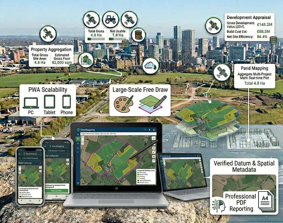
GeoMapping combines precision geometry with nested project logic to deliver true net productive acreage data.
Gross vs. Net
Automatically calculate the difference between your total asset boundary and usable land after subtracting infrastructure waste.
Portfolio Audits
Exclusive for Estate Managers: Aggregate multiple project sites into a single grand total audit to manage entire portfolios.
AI Land Insights
Leverage technical site characterization. Our engine analyzes site geometry to provide topographic and utility overviews automatically.
Choose Your Plan
From individual surveyors to total estate management suites.
Perfect for quick, one-off measurements without cloud storage.
Standard mapping capacity for active property agents.
The complete precision mapping suite for total land management.